MOVIES
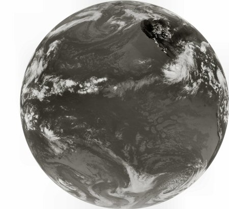
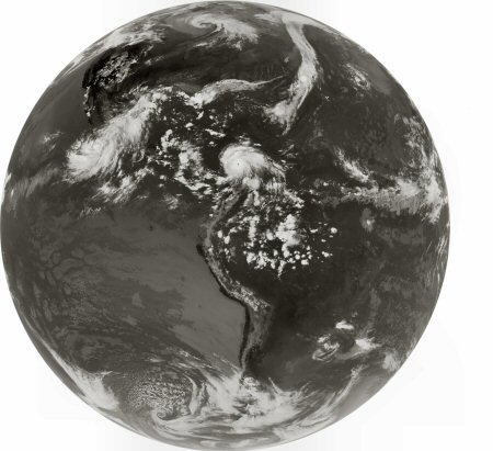
Images - Different Satellites

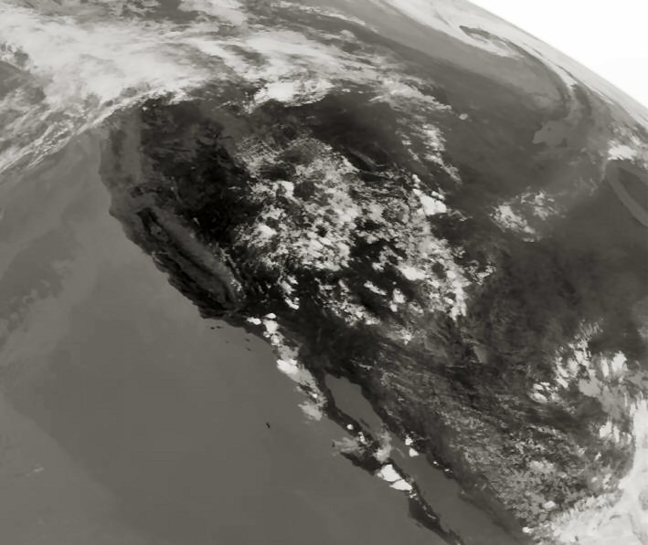
This is a channel 4 infrared US image from GOES-11 taken on Sept 2, 2007 at 20:49UTC.
Other data like EMWIN (Emergency Managers Weather Information Network used to send text weather warnings) and DCS (Data Collection
System used to transmit data from platforms like ocean bouys) are send via LRIT.