MOVIES
Images - Different Satellites

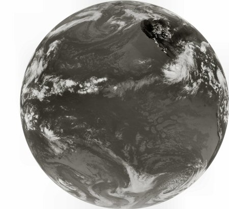
This is a channel 4 infrared full disk image from GOES-12 taken on Sept 2, 2007 at 20:51UTC. GOES-12 is located
at 75.1W longitude, 0 latitude and 22,000 miles above the earth. Hurricane Dean is slightly above the image center.
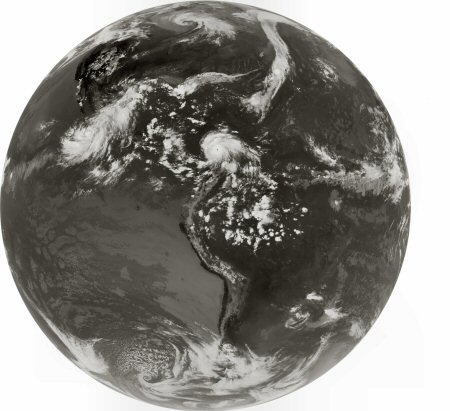
Since the LRIT tranmission is just a rebroadcast, LRIT images from other satellites can be rebroadcast through GOES-11 also.
In fact, select GOES-12 LRIT images are rebroadcast through GOES-11.