MOVIES
Images - Different Formats

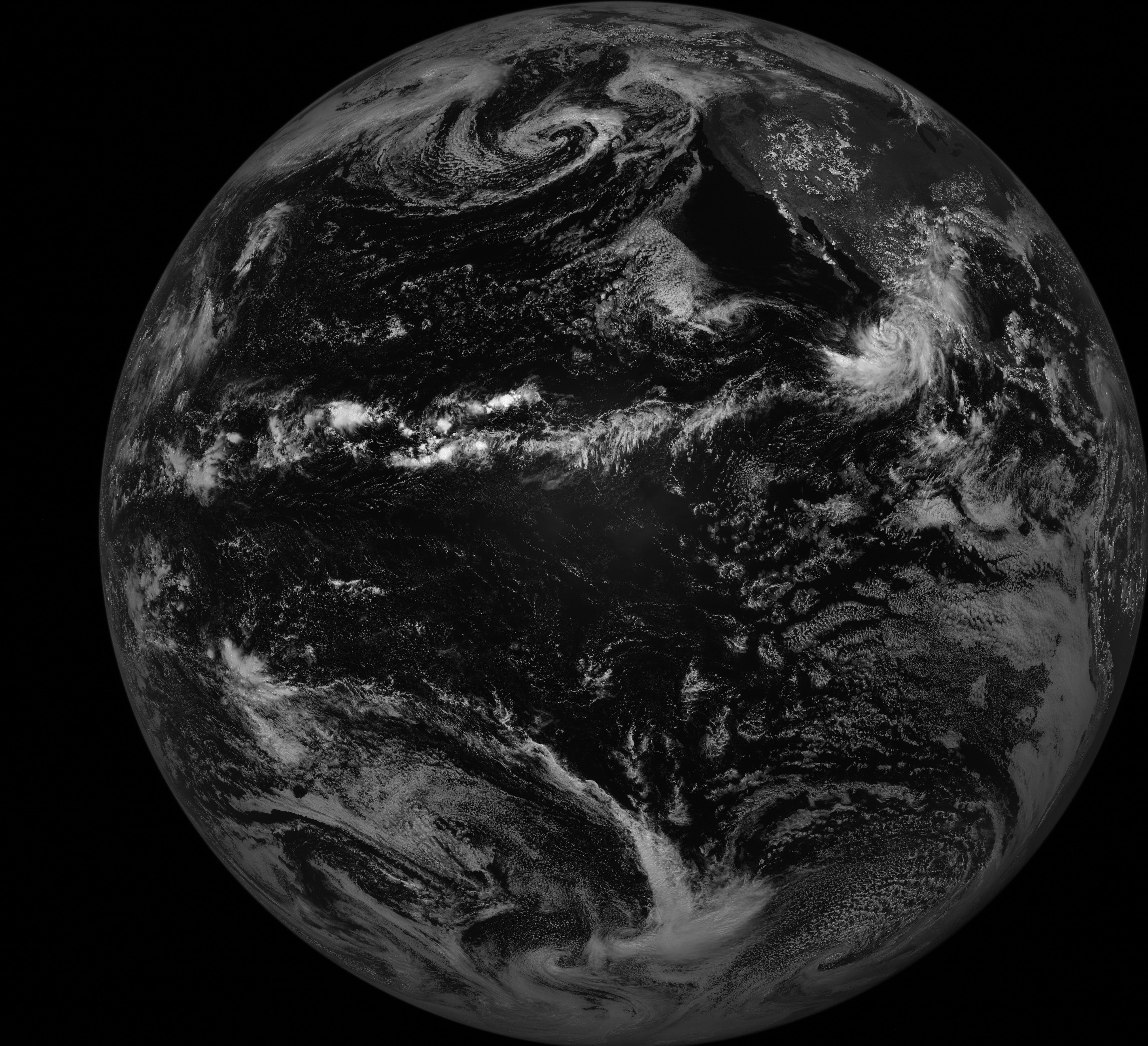
This is a Full Disk image from GOES-11 taken Sept 2, 2007 at 21:06UTC. The West Coast of the US is shown in the upper right part of
the image & Hurricane Henriette is below Baja California. The 3.3MB original image is 5200 pixels by 2706 lines and can be obtained here.
All weather satellite images from the American satellites are grayscale, not color like you see on TV.
The new LRIT data is digital
and not analog like the old WEFAX signal which LRIT replaced.

